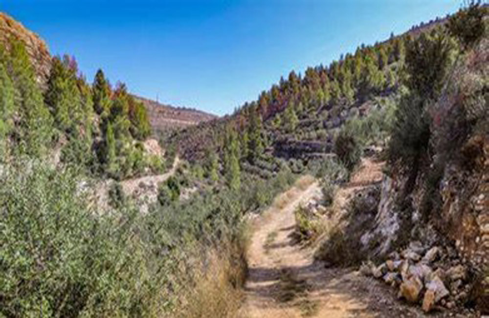
Description of the route and nearby villages
An easy family route, the length of the route is approximately 5 km and it takes about two and a half to three hours. It starts from Ain Kabrian in the Al-Makhrour area in Beit Jala, all the way to the village of Battir. Of the wild plants and animals, the village of Battir is famous for its natural heritage, its ancient water and agricultural terraces, Roman ruins, Roman tombs, castles, and caves, which are considered archaeological and historical treasures.
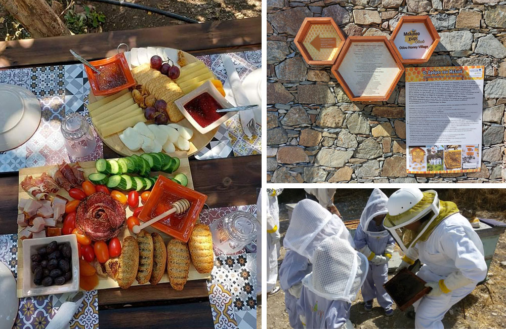
The village of Battir, located in Area C, with a population of approximately 5,000, was included in the UNESCO List of World Heritage and World Heritage in Danger in 2016 due to the importance of its natural heritage treasures. The village also has the Battir Environmental Museum, which was established in 2011. It is concerned with preserving the tangible and intangible cultural heritage resources in the village of Battir, to link the past with the present and to confirm that our heritage is one of the most important manifestations of Palestinian culture and a living proof of the identity and history of the villagers.
Local plants and ecosystems
The Wadi al-Makhrour area is located on the central mountain range in Palestine, on the southwestern edge of the city of Jerusalem, which is 800 meters above sea level at a rate of 800 meters from the Ain Kiberian area in Beit Jala, to approximately 600 meters above sea level in the village of Battir, the old village area. The Mediterranean Sea, the largest part of which is open towards the west and a small part towards the south, which made it receive good amounts of rain and humidity compared to the eastern regions of the city of Bethlehem, because the rain-laden winds are westerly and southwest. The average temperature is close to 17 degrees Celsius during the seasons of the year, and this climate is positive for the life of plants and bees in the region.
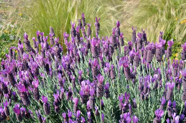
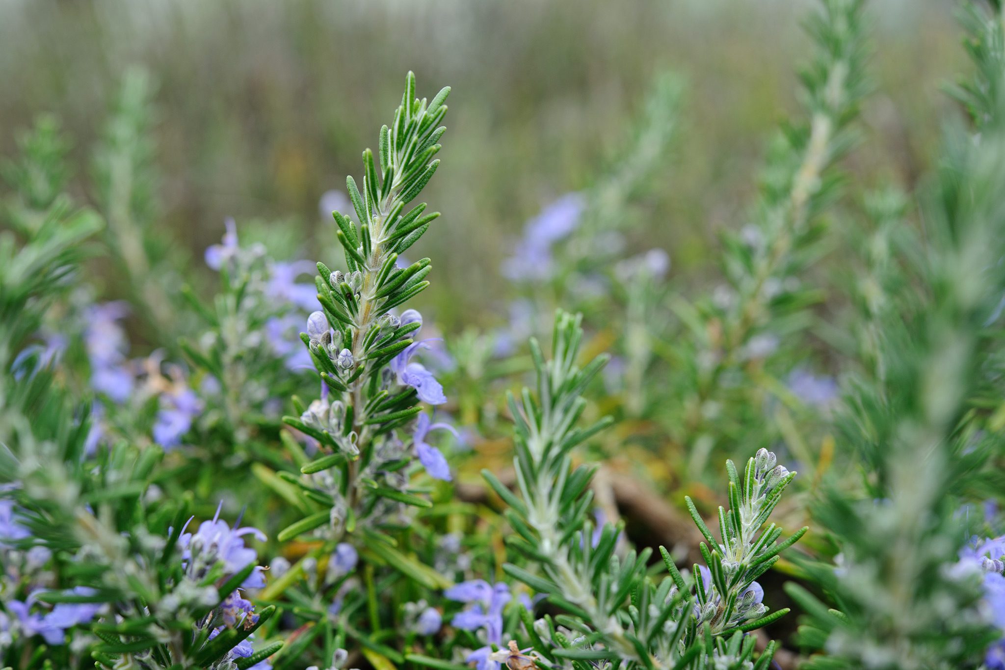
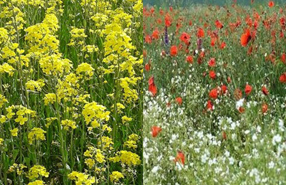
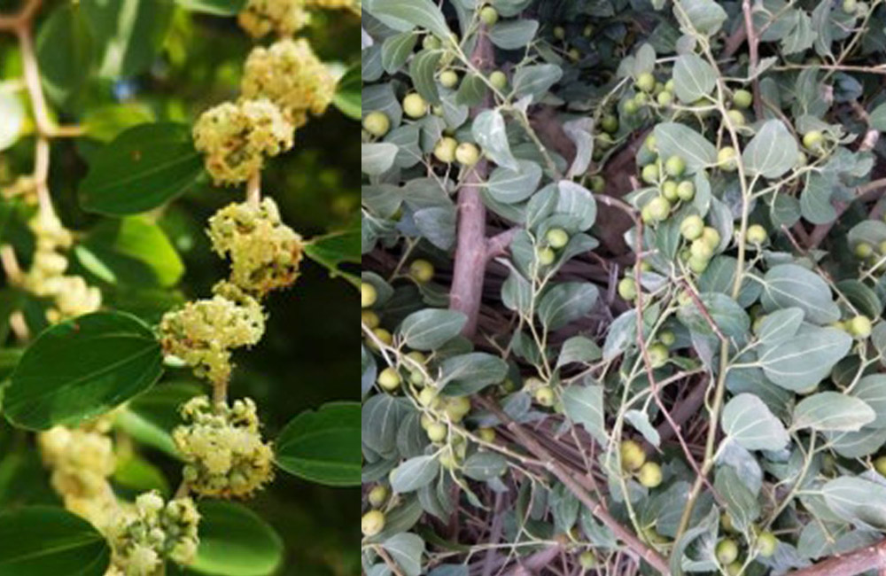
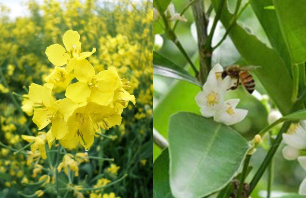
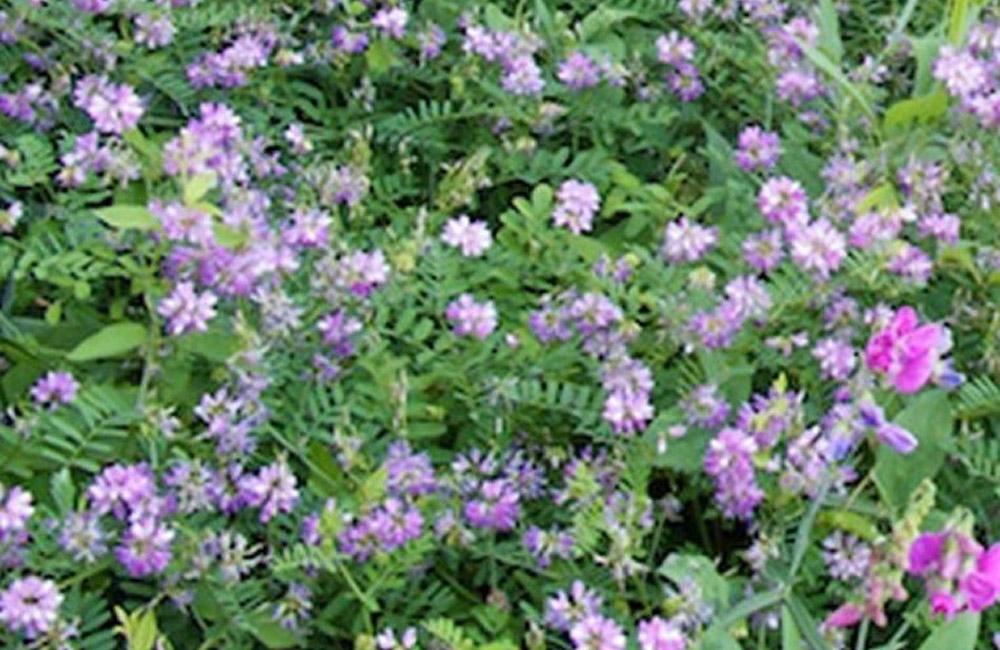
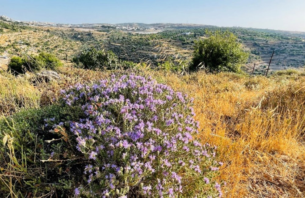
The valley is planted with various almond trees, grape trees, figs, hawthorn, olives, sumac ( Rhus spcs) ٌ, summer and winter vegetables, and the most important summer nectar plants are the creeping plant, which is a type of wild thyme and is abundant along the route line. On the other hand, in Palestine, the flowering of cyclamen extends until the middle or end of August, based on the amounts of rainfall and temperatures. Crested grows in mountainous areas, lives in clusters within plant communities from the Mediterranean environment. It is an aromatic plant of high permeability and attractive purple flower colour.
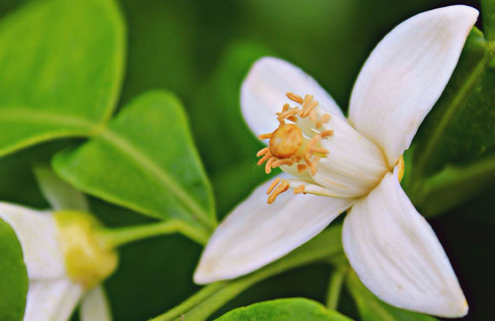
There are also a number of varieties of nectar flowers and flowers that are a source of pollen, the most important of which is the jellyfish plant, which is a thorny shrub with attractive bright yellow flowers. Joint disease using root poultice, in addition to a large number of other plants and trees.
Important sites to visit at the beginning, during or at the end of the route:
- The creeping plant blooms between June 20 and July 30
- Al-Makhrour Association for the Production and Marketing of Environmental Agricultural Products: For contact - Khalil Qonqar 0568700040.
- Battir Cooperative Society for Beekeepers: Contact Khaled Abu Hassan 0595328413.
- Environmental Museum in Battir: Contact Khaled Abu Hassan 0595328413.
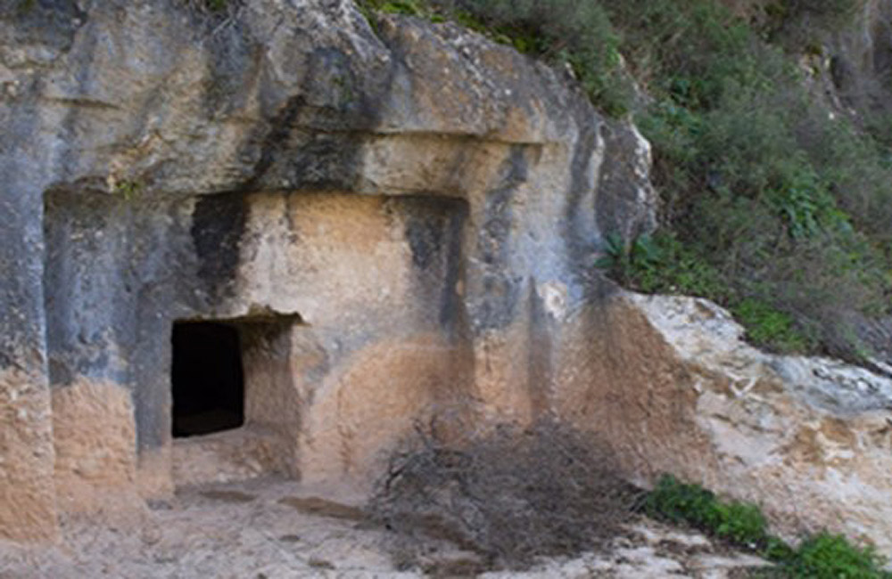
- Roman tombs carved with rocks, which are located on the itinerary.
- The ancient pond of pillars, which is located on the route's itinerary.
- Battir Environmental Museum, which is located on the itinerary.
- Seven Widows Lane, which is located on the route line.
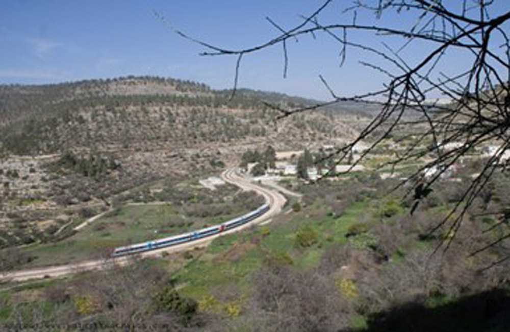
- The railway between Jerusalem and Jaffa, which is located on the route line.
- Agricultural terraces and water canals "Al-Jinan", which are located on the route of the route.
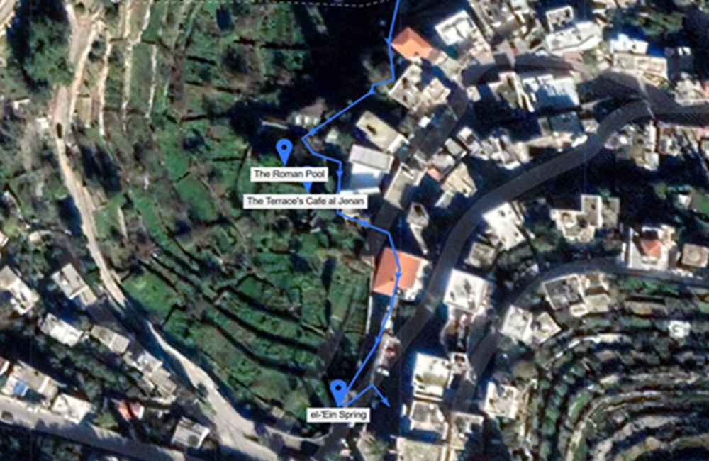
- The Roman Pond and the Roman arch, which are located on the route's itinerary.
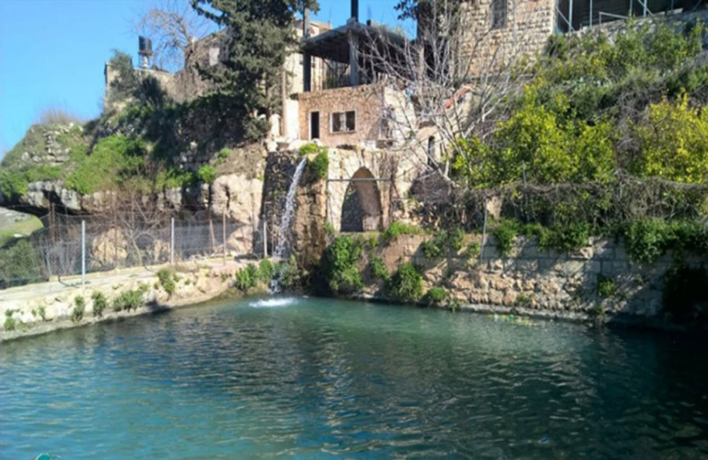
- The Roman bath and the spring of the country's waters, which are located on the itinerary.
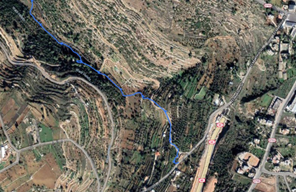
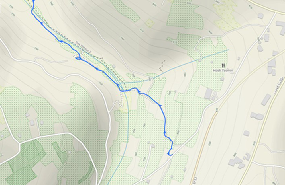
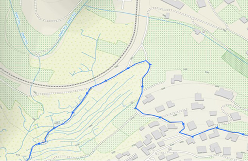
Route line and explanations of some route sections
Illustration of the length of the route from the starting station to the arrival station.
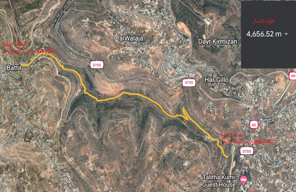
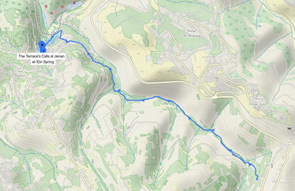
The starting station of the route is from Ain Kabrian in the Al-Makhrour area of Beit Jala (near the tunnels, Street 60).
Route location near railway and school district.
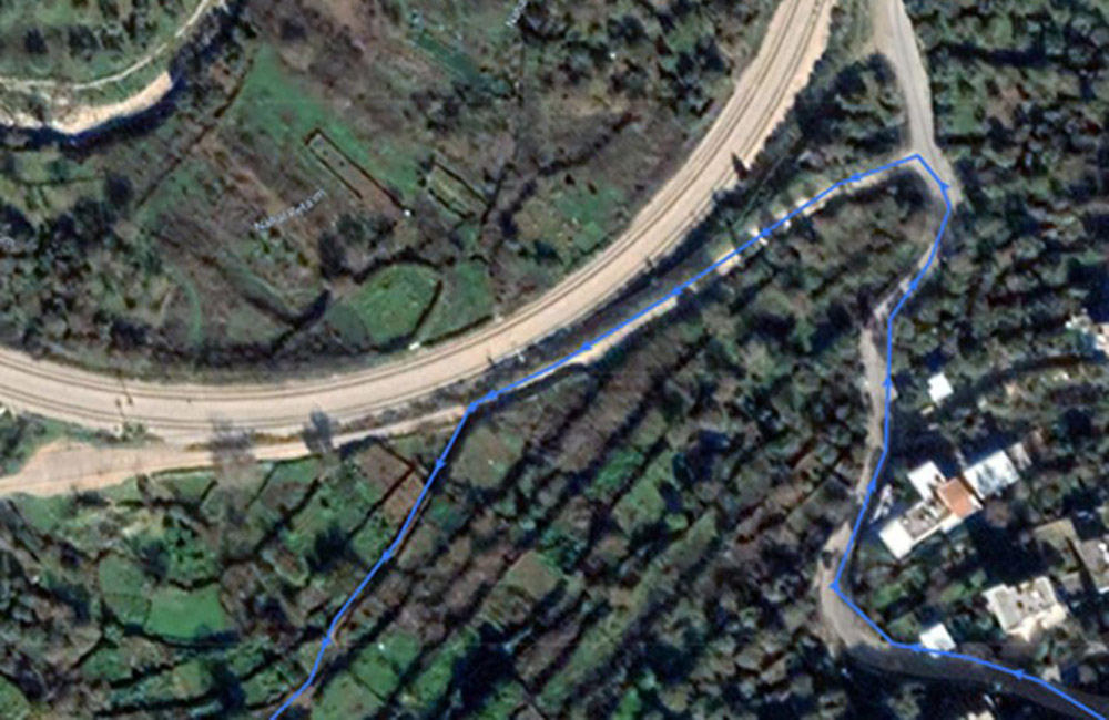
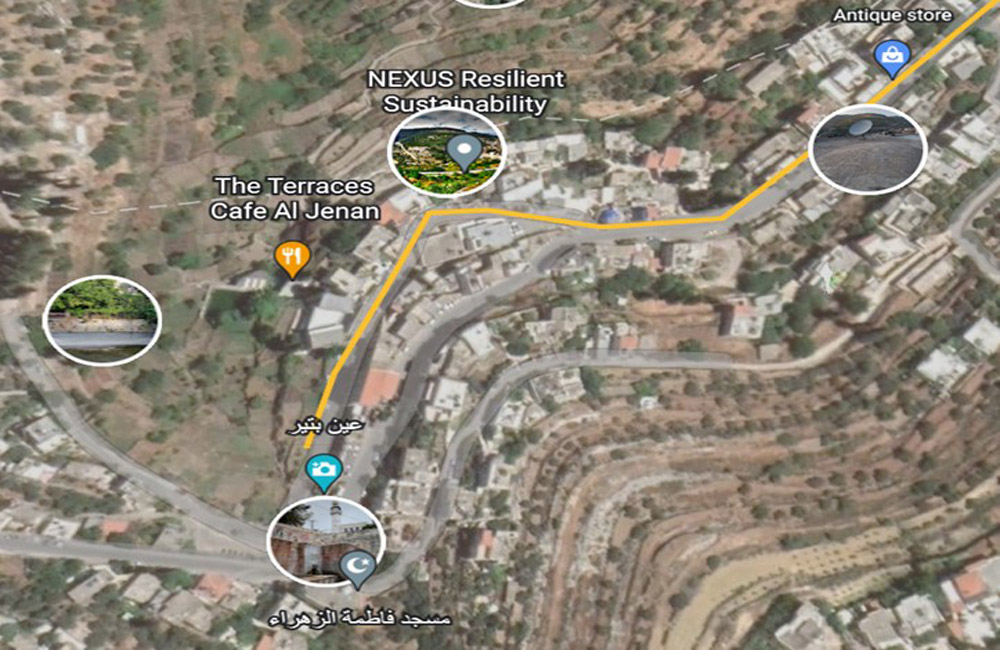
A section showing some landmarks at the end of the route in the village of Battir
General photos of Wadi Al-Makhrour area, Battir village